Newburyport
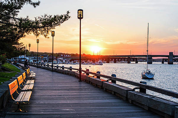
Whether you live here or nearby or are just visiting, you will find that Newburyport is truly a seaport for all seasons. This is a thriving community with unique shopping, fine dining, arts and culture, charming inns and breathtaking scenic beauty. This is also a community with a rich history, which you will see all around you.
Newburyport has something to offer for everyone throughout the entire year. During Winter, enjoy cross-country skiing or snowshoeing at Maudslay State Park, or get cozy by the fireplace at one of our many restaurants and inns.
In the Spring, stroll through downtown and admire the window boxes and hanging flower baskets that fill the city, or take a birding field trip to Plum Island.
In the Summer, you can take a harbor tour or a whale watch, sun yourself on the beaches of Plum Island, enjoy a free summer concern/movie, or stroll though our museums.
Fall is a wonderful time in Newburyport. Come to the Fall Harvest Festival, or shop downtown. Join us for the holidays, and find the perfect gift for that special someone.
Anytime you visit, you will find that Newburyport is a seaport for all seasons.
Rowley
The Town of Rowley was founded in 1639 by the Reverend Ezekiel Rogers and a band of 20 families from Rowley, Yorkshire, England. The group sailed on the ship "John of London" bringing with them the first printing press to be used in America, the famous "Daye Press" which was to be set up in Cambridge. The land area of Rowley originally included what is now Boxford, Bradford, Georgetown, Groveland and a part of Middleton. The town has a varied terrain, and is situated between two rivers, the Muddy Creek on the north and the Rowley River to the south. With a section of Plum Island bordering the Atlantic, the main land mass fronts Plum Island Sound with an extensive salt marsh area that eventually gives way to rolling uplands. Heavily forested, there are several working farms with numerous single-family house lots and a few apartments and condominium complexes. Bradstreet Farm, owned by the Jewett family since the 1600's is the nation's second oldest working farm to be continuously owned and occupied by the same family.
Rowley is home to the nation's oldest stone arch bridge and the "Turning Place" (now the Rowley Common) where in 1775 a battalion of Benedict Arnold's musket men encamped enroute to Quebec. The Revolutionary War cannon, "Old Nancy", is one of the town's most prized possessions. The cannon was taken by Rowley soldiers from the British ship "Nancy", which was captured off Gloucester. In 1643, the first fulling (wool) mill in the colonies was established in Rowley, which later proved to be a contributing factor to the War of Independence as the mill was perceived as a threat to England's dominance in supplying wool to the colonies. Rowley's only other major industry was the Foster Shoe Company that began operations in 1850.
Today, Rowley is in a transition from its historical farming roots to that of a residential community. The town maintains its historical charm, however, and may be the quintessential New England hometown with its 350th anniversary commemorative bandstand sited on the town common green, numerous stately, colonial era homes lining Main Street, and several tall white steeple churches standing nearby.

Georgetown
Georgetown Massachusetts features small town rural living that is within easy reach of major routes such as 95 and 495.
The town has many acres of state forest land and is handy to nearby seaport and recreational areas.
Georgetown boasts a small downtown shopping center and a public golf course and country club. The town's residents organize an annual celebration known as Georgetown Days that is held during the week preceding the Fourth of July. The celebration includes crafts and rides and entertainment including an impressive fireworks display.
W. Newbury
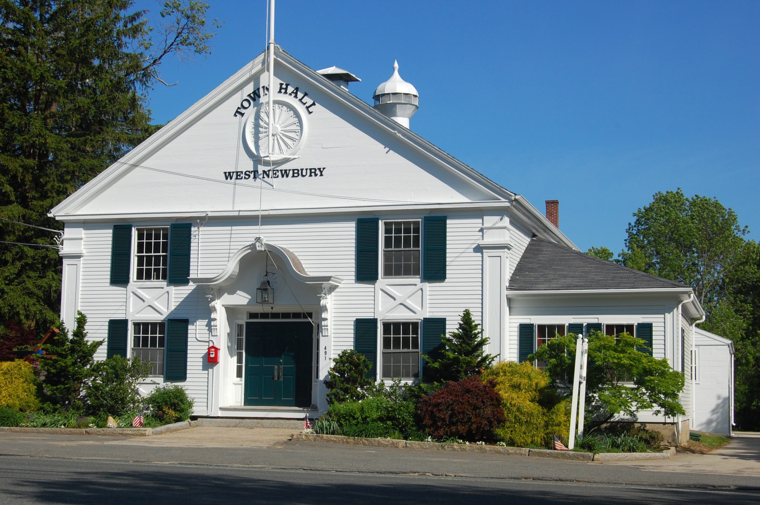
West Newbury is located in Essex County just 40 miles north of Boston and was founded as a town in 1819 featuring enchanting rolling hills with broad valleys and countryside appeal. On the northern border is the Merrimack River which provides picturesque beauty and entertaining boating for residents. Take a trip to West Newbury during the holidays too select and cut a Christmas tree from one of the towns numerous Christmas tree farms. The mill pond area includes over 200 acres of land that provides entertaining activities which consist of skiing and hiking along with fishing and horse back riding as well as a winter carnival that has fall hay rides and other family activities.

Ipswich
Ipswich is a coastal town in Essex County, Massachusetts, United States. Home to Willowdale State Forest and Sandy Point State Reservation, Ipswich includes the southern part of Plum Island. A residential community with a vibrant tourism industry, the town is famous for its clams, celebrated annually at the Ipswich Chowderfest, and for Crane Beach, a barrier beach near the Crane estate.
Amesbury
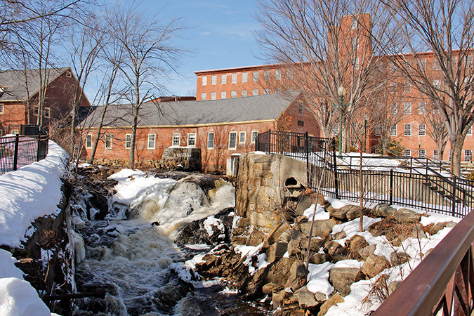
Amesbury is a suburban community with an unusual industrial and manufacturing history. First settled by Europeans in 1645, the town's earliest industries included mills, shipyards and a heavily used ferry operation across the Merrimac River to Newburyport. There were always scattered farms in the community, but unlike most Colonial settlements, agriculture was secondary to an aggressive maritime and industrial economy. By the 19th century, the shipbuilding, shipping and fishing which had employed most of the population was giving way to textiles, ironworks, saw and grist mills that had been established on a 90' drop of the Powow River, which provided crucial water power.
Among the most interesting of Amesbury's products were the carriages which achieved some renown in the area. The same company made the transition into the 20th century by converting its production into making automobile bodies, and until the Great Depression of 1929, auto body making was a major industry in the town. The same handsome stone industrial buildings that once made nails and cloth are now filled with a diversity of manufactured products and the situation of Amesbury at a transportation crossroads of Interstate 95 and 495 gives the town a good competitive edge for both residential and commercial development.
Along with the sturdy 19th century commercial buildings, Amesbury is also rich in Federal-period residences, which the community carefully preserves as its link with the past.
Hamilton
Hamilton is a rural-suburban town in the eastern central portion of Essex County in eastern Massachusetts, United States. Currently the town has no manufacturing industry and no industrially-zoned land.
Its location on the North Shore of Massachusetts provides easy access to the Atlantic seashore with its reservations, beaches and boating. The town includes many historic houses, pastoral landscapes, and old stone walls that accompany winding tree-lined roads. It also has a rich equestrian heritage, which remains strong due to the influence of the many horse farms and of Myopia Hunt Club, which holds frequent equestrian events, including polo most Sunday afternoons. (Myopia also hosts a Thanksgiving Day fox hunt each year that the public may attend. Thus, the visitor to Hamilton may well share the secondary roads with horse and pony riders.
Hamilton is closely tied to neighboring Wenham, sharing a school system, library, recreation department, commuter rail station and newspaper. In 2010, the community of Hamilton-Wenham was listed among the "Best Places to Live" by Boston Magazine.
Hamilton includes South Hamilton, which is that part of Hamilton that the Postal Service has assigned the zip code 01982. "Hamilton" and "South Hamilton" are indistinguishable from each other except for the difference in zip codes.
Salisbury
On September 6, 1638, Secretary of the Massachusetts Bay Colony, Simon Bradstreet, received an agreement from Governor Winthrop and the General Court giving him and eleven other men the right to begin a plantation north of the Merrimack River. This land grant included the towns of Amesbury and Merrimack, Massachusetts as well as the New Hampshire towns of Seabrook, South Hampton, Newton, Hampstead, Plaistow and Kingston.
This town, bordered by the Merrimack River and the Atlantic Ocean, originally named Colchester, was incorporated as Salisbury in 1640.
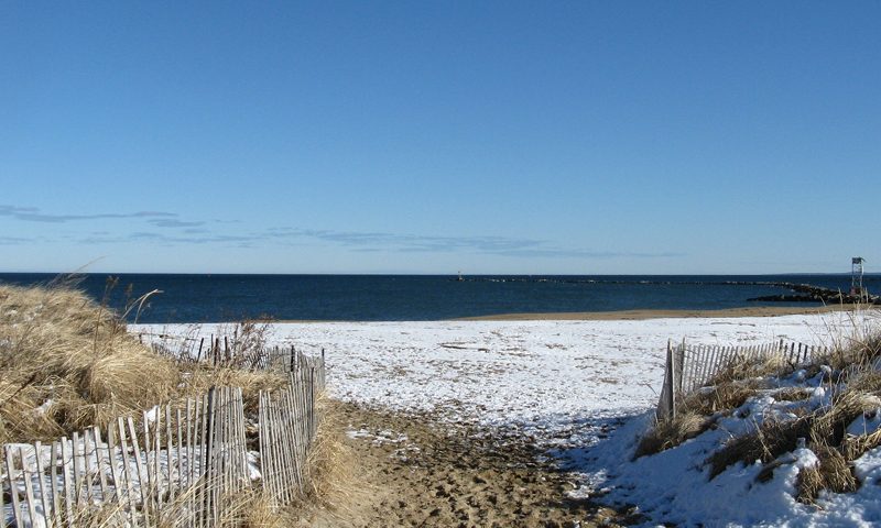
Salisbury grew over time based on upland farms, salt marsh estuaries, building boats along the river, and its position on a major overland trade route to the north. When railroads were introduced, the line followed earlier routes from Newburyport heading to Portsmouth, aided by the low, gentle landscape that generally lacks steep hillsides or rocky terrain. With railroads, growing wealth and leisure time, and an emerging middle class, Salisbury's unbroken sandy beachfront beckoned to vacationers, establishing an economic engine that remains important and provides image and identity to the Town.
In the nineteenth century the oceanfront became an object of interest to people who were beginning to shed their earlier, close ties to the land. Tourism and recreation at the beach soon became a prominent feature and the beach district saw the arrival of hotels, amusements and retailing, which continue to operate today.
The Beach district has held onto its carefree resort character into the present, where the emphasis is focused on the ocean, amusements and relaxation. The modern Salisbury is highly diverse geographically, encompassing square sixteen miles of farms, beach, marshlands and both residential and commercial space. As of the year 2000, nearly 90 percent of this area, or 9,200 acres, was in various types of open space. Nearly forty percent is forested, while more than a third is wetland and estuary. Ten percent is in open and agricultural land, and four percent is recreational.
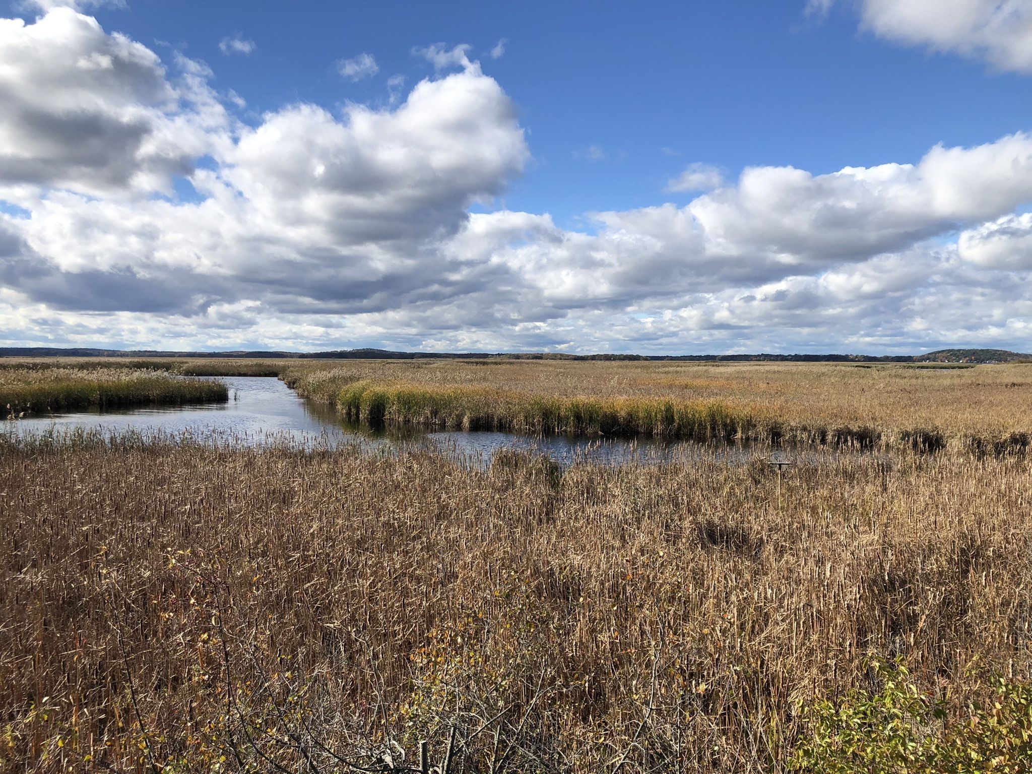
The Great Marsh and estuaries of the Merrimack River make up the largest linked bodies of open land.
The Town includes four distinctly different areas: Salisbury Beach, a barrier beach with miles of beautiful sandy Atlantic Ocean beaches and salt marshes surrounding dense residential and commercial beachfront development, Salisbury Plains, featuring farms and suburban homes set in fields and rolling woodlands, Salisbury Square, a colonial village center with churches, municipal buildings and village residences, and Ring's Island, once a colonial fishing village facing Newburyport on the Merrimack River and now supporting a neighborhood of restored antique homes and riverfront marine businesses.
Merrimac
Settled by the English in 1638 as a part of Salisbury and later as a part of Amesbury around the village of Merrimacport, it was known throughout the seventeenth and eighteenth centuries as an agricultural and fishing community, with a small amount of shipbuilding. When Amesbury separated from Salisbury in 1666, Merrimac was referred to as the West Parish of Amesbury, or simply West Amesbury, although it was unincorporated. When a border dispute between the Massachusetts and New Hampshire colonies was settled in 1741, the new border sliced off the parts of Amesbury that were further from the Merrimack River, with the area then associated with West Amesbury becoming the "new town" of Newton, New Hampshire.
In the nineteenth century, benefiting from a manufacturing boom following the establishment of some of the first planned industrial cities in the United States, nearby Lawrence and Lowell, Merrimac came to be known worldwide for its horse-drawn carriage industry. During this period, the town proper of Merrimac, centered around Merrimac Square, expanded separately from the village of Merrimacport. In 1876, Merrimac, including Merrimacport, separated from Amesbury and officially incorporated itself as a town. It is believed that the town, as well as the river that runs along its southern border, are both named for the American Indian tribe that occupied the region. "Merrimac" (or Merrimack) means "swift water place" in the language of this tribe. This town center consists of the typical brick buildings and Victorian architecture of the late nineteenth century, and it is surrounded by much of the town's population. Interstate 495 now divides Merrimacport from Merrimac. At the beginning of the twentieth century, as with the rest of the New England, it went through a period of deindustrialization as the region's industry relocated to the Midwest. The communities of the Merrimack Valley, including Merrimac, were particularly affected by this long period of economic decline and have never fully recovered.
Today, Merrimac is a typical small New England community. It went through numerous growth spurts throughout the 1990s and the beginning of the twenty-first century as it was absorbed into the Greater Lawrence metropolitan area.
Wenham
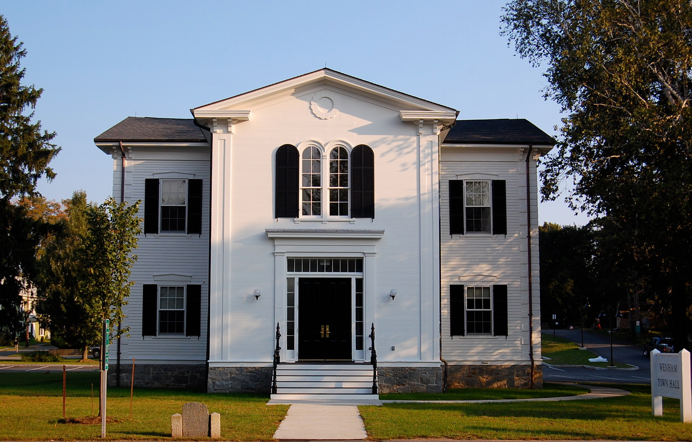
The Town of Wenham was originally settled in 1636 and incorporated in 1643. Fortunately, Wenham has retained much of its unique historic character and tranquil rural scenery. It is a town of many open views of farm lands, lakes, woodlands and old stone walls that accompany its winding tree-lined roads. To complement its handsome backdrop, the community is singularly fortunate to have been blessed with an active, involved citizenry, whose major goal has always been to protect what is precious from the past while continuing to plan ahead for future generations. Wenham is justly proud of its historic past; its present responsible and responsive local government; a wealth of dedicated and able volunteers; its nearly 300 acres of parks, playgrounds and recreational lands; and its excellent regional school system. Wenham is home to Gordon College. The Wenham Village Improvement Society provides a "Free Lunch For Voters" at its traditional Saturday town meeting. A walk along Wenham's lovely main street provides a timeless picture of beautiful old homes, gardens and yards, punctuated by friendly faces, residents say, giving one a general sense of connection to all that is right about New England small town life.
Let’s work together to make the home buying or selling process easier and more rewarding than ever.

